Hike Kanarraville Canyon Falls
Trail Description
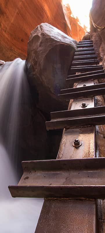
Once you start hiking, you can go for as long or as short a hike as you like, depending on your comfort level in the canyon. This hike is great because it becomes scenic rather quickly, so you don’t have to travel too far if you don’t want to. At 1.6 miles in, you’ll get to the first waterfall, a famous photography spot. A ladder (a log with metal steps and ropes attached to the adjacent wall for balance) sits right next to the gushing falls. Bring a lightweight tripod for photos with beautiful coloring and that glassy water look, and hang out for a while.
Just past the first waterfall, you'll discover a large boulder with water flowing across it. Then, about .2 miles later, you will find the "swimming hole" with a rock slide. The swimming hole is a shallow pool on top of a rock outcropping that becomes a little deeper by blocking some outflows with rocks. Visitors can't actually "swim" in the pool; the water is not deep enough, but one can take in its beauty, rest and enjoy a snack.
After trekking another .1 mile out, you will find the second waterfall, about the same size as the first one (about 10 feet high). This waterfall is about 1.9 miles in, and there are a couple of deep spots (mid-thigh) where you can negotiate to reach the falls. Note that there was a "ladder" next to this waterfall (log with 2x4s attached) that washed out during flooding in the spring of 2019. You should not go beyond this point but take in the towering red canyon’s walls before you turn around. It's important to understand that the trail's condition between the lower and upper waterfalls varies yearly, depending upon runoff and drainage, so be prepared.
Your total trip will be approximately 3.8 miles (round trip) with about a 600-foot elevation gain. The journey will likely take four to five hours, depending on how often you stop for photographs, exploration and snacks.
Visit the town of Kanarraville's website for more information about hiking Kanarra Falls.
Safety Precautions and Tips For Success
Descending and ascending the first 10-foot waterfall does require a bit of sure-footedness. You’ll have to trust a handmade wooden ladder, ropes bolted to the canyon, and other people’s slings (if they're still there), where you take risk into your own hands. That said, anyone with some wilderness hiking experience and relatively good fitness will likely feel safe.
- Always check the weather before your hike.
- Bring ice cleats and hiking poles if embarking during the winter.
- Before entering the slot canyon (and throughout your hike), you’ll cross creeks with up to knee-deep water, so be sure to wear good water shoes.
- Summer is the best time to visit this trail, because the water is warmest.
- Hiking permits are required (see below)
- Like all slot canyons, do not take this hike if it is raining or threatening rain due to the risk of flash flooding.
- There is always a risk of flash floods, but they are most common in July, August and September
- Dogs are not permitted on this hike.
Directions
The Kanarraville Canyon Falls Trailhead is due east of the town of Kanarraville. From Cedar City, take 1-15 South and exit at 51, Kanarraville (if you're coming from the south, on I-15, take exit 42). In Kanarraville, go east on 100 North, drive to the end of the road and you'll run right into the parking lot for the trailhead (there's a sign reading, "Kanarra Falls Parking"). Parking is free, and there's plenty of parking for RVs. (If using a GPS, make sure you put in the town and zip code, or you may end up at the same address in Cedar City instead.)
Permit, Fees and Coordinates
Hiking Kanarra Falls requires a hiking permit. Permits can be purchased for $15 per person online at kanarrafalls.com and are limited to 150 people daily. In the summer, tickets will sell out 1-2 weeks in advance. Hiking permits may be available at the Kanarra Falls trailhead during staffed hours, but the transaction will be credit card/debit only. No cash transactions will be allowed, and there will be no refunds. The permit also includes free parking at the town's lot at the trailhead.
GPS Coordinates: 37.53757044102242, -113.17553443978326
What's Nearby
-

Brian Head Resort
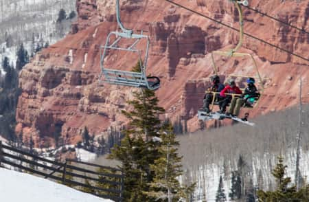
Surrounded by contrasting evergreen spruce and aspen, Brian Head Resort boasts the highest base among Utah's resorts, and is the only ski and snowboard resort to showcase snow-dusted red rock hoodoos from the nearby Cedar Breaks National Monument.
-

Cedar Breaks National Monument
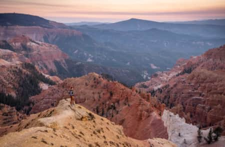
Cedar Breaks National Monument, 23 miles east of Cedar City, offers a stunning red rock amphitheater, scenic hiking and exceptional stargazing.
-

Cedar City
Cedar City, Utah offers plenty of great experiences thanks to nearby ski resorts, a national forest, great national parks and a superb arts scene.
-

Kolob Canyons
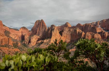
Sometimes it’s nice to enjoy "America’s Best Idea" in solitude. Utah’s got you covered there — look no further than the Kolob Canyons corridor of Zion National Park.
-

St. George
St. George is perfect for family adventures, luxury spas, extensive shopping, championship golf and nearby outdoor recreation assets.
-

Zion National Park
Whether you are trying to catch your breath while climbing the trail to Angel's Landing or watching the shadows constantly change the mood of the Court of the Patriarchs, Zion National Park is always ready to quench your appetite for outdoor wonder.
